Reykjanes study challenges hazard model, Grindavík ground split nearly four metres
- Researchers say nearly four metres of crustal opening occurred in a few years, including up to 2.5 metres in one day.
- The study argues long-term plate-boundary motion, not only discrete magma intrusions, drove the Reykjanes crisis.
- If magma is not sitting beneath Grindavík as assumed, current hazard maps for the town may rest on the wrong premise.
- Volcanologist Þorvaldur Þórðarson says slower uplift and magma inflow at Svartsengi make a new eruption less likely for now.
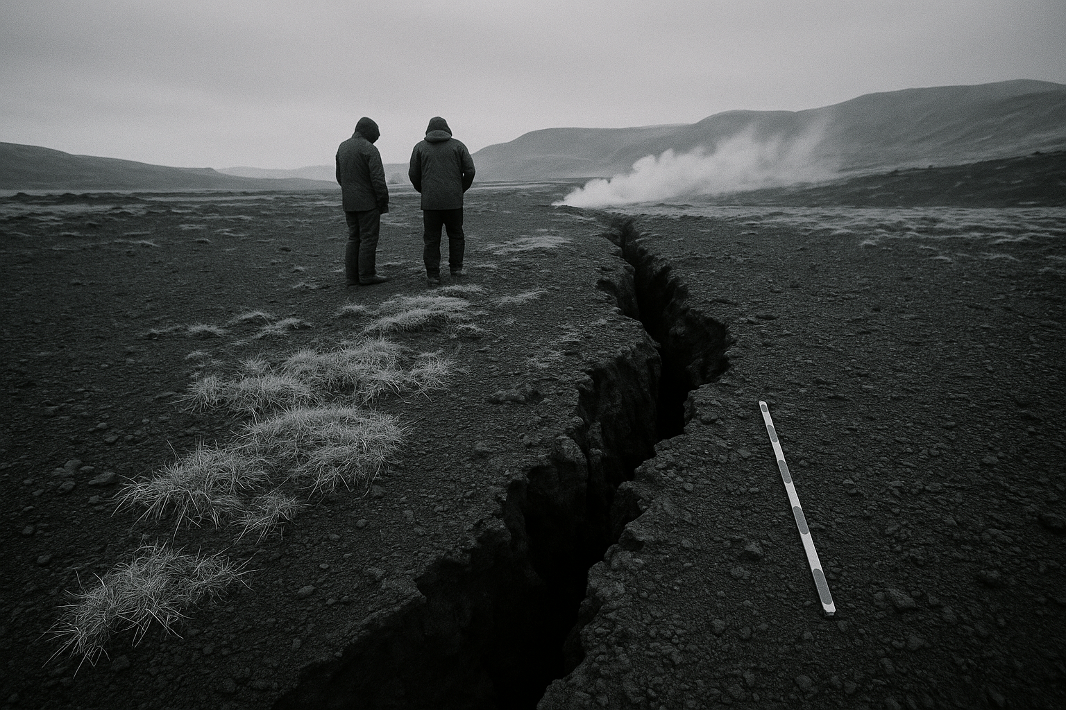
The ground around Grindavík opened by nearly four metres in just a few years, according to a new international study of the Reykjanes unrest, with as much as 2.5 metres arriving in a single burst on the day the town was evacuated. Writing from Iceland, RÚV reports that the paper, published this week in Geophysical Research Letters, is based on extensive measurements from 2021 to 2025 and includes researchers from the University of Iceland.
The study’s dispute with the prevailing model is where the local consequences begin. Volcanologist Þorvaldur Þórðarson told RÚV that the standard assumption has been that large magma dikes stretched beneath Grindavík and far north toward Vogar, helping drive the hazard picture used for the town. If that reading of the data is wrong, he said, the hazard assessment changes because one of its foundations has been the belief that magma sits under Grindavík. For residents deciding whether homes, roads and utilities can ever be treated as stable again, that is not a technical footnote. It is the difference between planning around a magma body under the town and planning around crustal failure at an active plate boundary.
The paper instead points toward a longer clock. The authors argue that steady spreading at the plate boundary under Iceland built stress over time until the crust gave way, with horizontal strike-slip motion helping trigger the sequence before extension took over. That reading does not remove danger from Reykjanes; it redistributes it. A model built around isolated intrusions asks where the magma is now. A model built around accumulated plate motion asks where the crust is storing strain, where faults can jump, and how much warning a community gets before the next step-change arrives.
That matters beyond Grindavík’s streets and property lines. Svartsengi, with its geothermal power plant and the Blue Lagoon area, has been treated as a site where magma supply and uplift are central operational variables. Þorvaldur said both uplift and magma inflow into the magma reservoir beneath Svartsengi and the Sundhnúkur crater row have slowed so much that another eruption now looks unlikely. For the power plant, he described a full magma reservoir as stored heat that can continue feeding the geothermal system and keep the station running. The peninsula’s electricity and hot-water planning has therefore ended up tied to the same geological argument as the evacuation maps.
Icelandic authorities have spent the past two years making decisions under pressure: evacuations, barriers, access rules, infrastructure protection. Those decisions were made with the best model available at the time. The new paper does not erase the fissures that tore through Grindavík, but it does ask whether the next emergency will follow the same script. On Reykjanes, 2.5 metres of movement arrived in one day before the argument about the model was settled.
Källor: RÚV